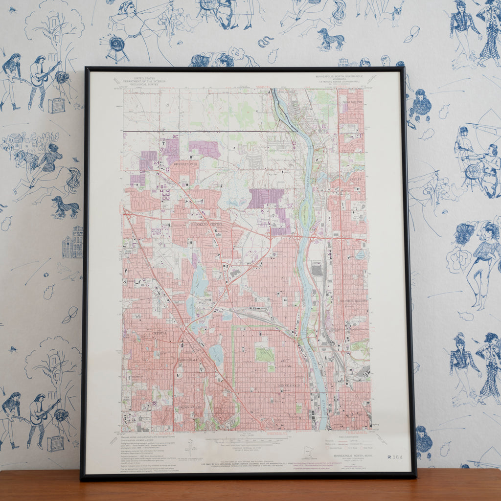
Vintage 1972 Minneapolis North Quadrangle Geological Survey Topographic Map
GOLDEN RULE GALLERYThis geological survey from 1967 (with 1972 revisions) shows the north quadrangle of Minneapolis, Minnesota. It features the area from New Hope in the west to Columbia Heights in the east and Coon Rapids in the north to Golden Valley in the south and also includes Brooklyn Center, Brooklyn Park, Spring Lake Park, Fridley, Crystal, Robbinsdale, and the Mississippi River as it cuts through Minneapolis.
Professionally custom framed in subtle black metal.
21.5" x 27.5"


